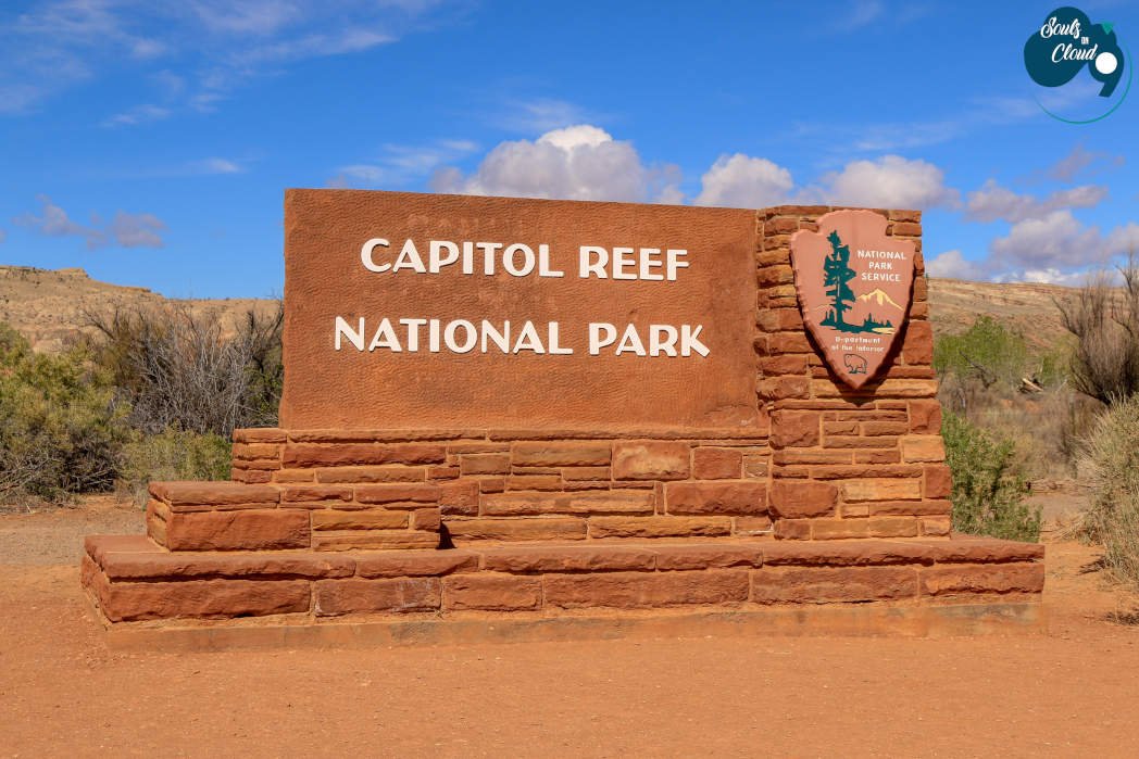
How To Spend A Day At Capitol Reef National Park
Capitol Reef National Park consists of a vibrant palette of colors splashed all across the landscape which includes towering cliffs, massive domes, arches, bridges, and twisting canyons.
The Park gets its name since this region was once a growing living underwater organism. This resulted in the formations of the Waterpocket Fold which are the main feature of the park. These formations are created over time by three gradual and powerful processes – deposition, uplift, and erosion.
The scenery in the Park can be deceiving. It might appear barren and lifeless, but it is home to a rich diversity of flora and fauna. Fruita Historic District which is part of the park consists of a lot of orchards which is definitely a prime illustration of an oasis in the desert. You will also see petroglyphs and pictographs on rock walls reminding us that people have been Living on the Reef from 300 to 1300 CE.
Our Top Picks
Ready to plan your trip - Check out these details!
Fruita District
We had around 5 hours on our hands before catching a flight back home so we decided on exploring the Fruita District in Capitol Reef. On UT-24, once we crossed Caineville (~ 19 miles away from Visitor Center), we could see the river streams and small creeks flowing on one side of the road and the vivid Navajo sandstone formations on the other side.


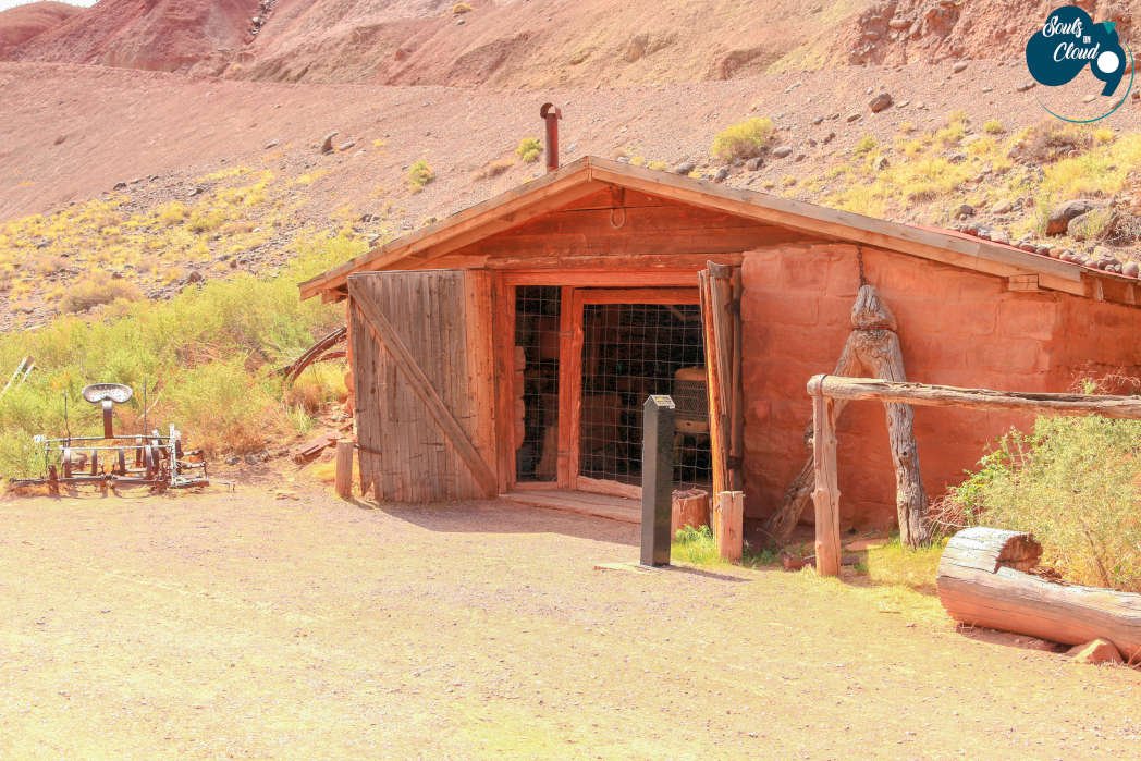
Before the visitor center, on UT-24 you will come across a stark distinct landscape with orchards of apple, peach, pear, apricot, cherry, and plum. This is the most popular Fruita District Area of the park. Because of the abundance of orchards in this region, it is named as Fruita. This area was originally a Mormon settlement established on the banks of Fremont River.
We took a quick stop in the parking area for the trailheads of Hickman Bridge/Rim Overlook/Navajo Knobs Trail, to check the Capitol Dome (6120 ft high). Capitol Dome was the inspiration behind the name of the Park. Since early travelers were reminded of the US Capitol building while looking at the dome and the similarity is uncanny.
Another stop in this area before the visitor center was Petroglyph Panel to check out the pictures and paintings of American Indians. Stop at the Visitor Center located in this area to watch the park movie, collect maps, and also check the Castle and Fruita Cliffs formations. The red sandstone formations atop the grey Chinle and Moenkopi formations seen at Castle highlights the vivid colors of the rock formations of the park.
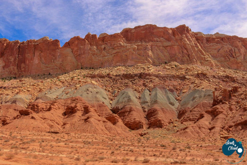
Views of the slick rock and grey Chinle formations
Scenic Drive
The scenic drive is a 7.9-mile paved road with dirt roads into Grand Wash and Capitol Gorge Road. It starts from the Fruita District Area and travels through the distinctive landscape of the park.
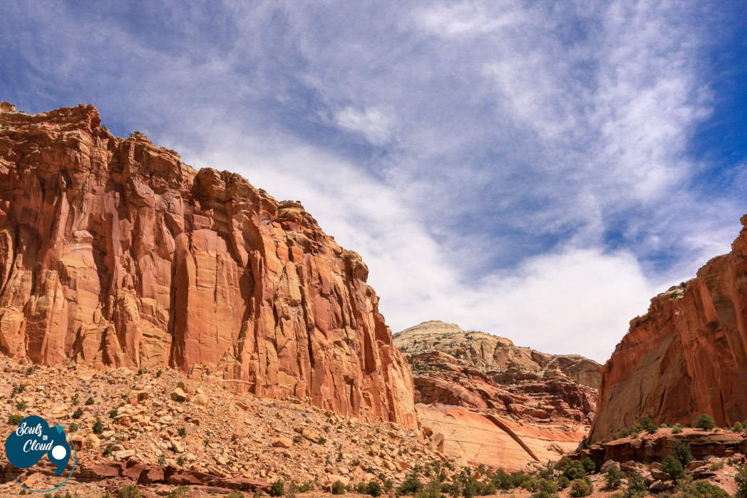
Gifford House is a must-stop place to check out the exhibits on Mormon pioneer history and also for some yummy fresh baked pies and bread. After enjoying our mixed berry pie, we got onto the scenic drive again to capture the majestic and colorful formations of the water pocket fold. There are quite a few pull out points for the same.

Views on the scenic drive of Capitol Reef National Park
You will see the Moenkopi formation (225 million-year-old rock) and canyons with rock layers throughout the drive. Driving south on the scenic drive, you will first come across the dirt road for Grand Wash Road, which leads to the trailheads for Grand Wash Trail and Cassidy Arch Trail.
After crossing the Grand Wash area, we noticed more vegetation in the landscape and cliffs of Wingate Sandstone. After driving ~ 5 miles, the road narrows a bit near Slickrock Divide before reaching the end of the paved road. Since the scenic drive is not a loop, there is a parking area near the end of the paved road, from where you need to return back towards the visitor center.

Windgate Sandstone rock formations in Grand wash


Capitol Gorge Trail
Once the paved scenic road ends, continue your adventure by taking the Capitol Gorge Road which is 2.4 miles of dirt road. However, weather permitting the road can be accessed by all passenger vehicles.
This road was used by the early Mormon settlers to travel through the Gorge. The road is narrow and winding and is lined by the Wingate Sandstone formations along the west face of Capitol Reef.
At the end of the road, there is a parking lot, from where you can access the Golden Throne Trail and Capitol Gorge Trail.
Capitol Gorge Trail is easy and is a 2-mile round trip. Firstly, you will come across the Pioneer Register, where you can see early travelers recording of their passage on the canyon walls. Hiking further, you will tank signs where you will see the water pockets.


After enjoying a scenic drive, we got onto UT-24 towards Torrey. On the highway, we came across the Sunset Point and Goosenecks Overlook which are definitely not to be missed.
The dramatic canyon views from Goosenecks are breathtaking and after a short 0.4-mile hike (one way), the enthralling panoramic views from Sunset Point is one of the favorite photography spots in the Park.
Plan your visit
-
Spring and Fall have temperate weather and is the best time to visit the Park.
-
Salt Lake City International (SLC) is the closest large airport to the park.
Drive from SLC to park's visitor center at Torrey is ~230 miles (3.5 to 4 hrs).
The park can only be accessed by one major road UT-24. We came to Park from Moab by taking US-191 N towards I-70 W and then got onto UT-24.
-
When in the area, Gifford House is a must-stop to grab a pie.
Before your visit, check any of the park alerts here
Days might be hotter in the park, so carry enough water and sunscreen with you.
Cathedral Valley and Waterpocket District area of the park offers more backpacking and 4WD experience.
-
If you have half a day to spend:
Drive the scenic Drive till the parking lot on the Capitol Gorge road (~10 miles one way)
Enjoy petroglyph panels and other geology along Highway 24.
Stop at Gifford House for some pies and exhibits.
Stop at Goosenecks Overlook and watch the movie at the visitor center.
Capitol Reef National Park even though being remote is definitely a very unique national park in Utah. The scenery includes the canyons and rock formations as you would expect, but the Fruita district is unlike any other area of Utah. Therefore, the park includes a lot of historical significance along with the picturesque landscape. On our next visit to the park, we would definitely love to explore the Waterpocket area of the Park to admire more the exquisite and uncommon geological formations of the park!
We hope you enjoyed reading our blog! Feel free to leave any comments and suggestions.